
File:Nyanga OSM.png

Ɓetol ngol jiytol: 800 × 534 piksel. weerngooji: goɗɗi 320 × 213 piksel | 640 × 427 piksel | 1 024 × 683 piksel | 1 280 × 854 piksel | 2 102 × 1 402 piksel.
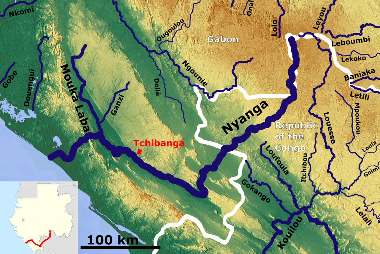
Fiilde asliire (2 102 × 1 402 piksele, ɓetol fiilde: 5,74 MB, mbaydi MIME: image/png)
Tonngol
| Cifagol |
English: The Nyanga catchment OSM, Based up on US Army map SA32-33 |
| Ñalngu | |
| Sewnde | https://maps-for-free.com/, https://maps.lib.utexas.edu/maps/imw/, Location map:https://commons.wikimedia.org/wiki/File:Gabon_location_map.svg |
| Binnduɗo | Hans Braxmeier & Peter in s, Location map:Uwe Dedering |
This file is licensed under the Creative Commons Attribution-Share Alike 3.0 Unported license.
- Aɗa wellitii:
- e lollinde – e tummbitaade, saakde e ɓenninde golle ɗee
- e muultaade – e jaaɓtinde
- E ɗii-ɗoo sarɗiiji:
- fe'inana – You must give appropriate credit, provide a link to the license, and indicate if changes were made. You may do so in any reasonable manner, but not in any way that suggests the licensor endorses you or your use.
- lollin nannduɗe – If you remix, transform, or build upon the material, you must distribute your contributions under the same or compatible license as the original.
Aslol fiilde
Dobo e ñalngu/waktu ngam yiyde fiilde ndee no nde yaltirta e oon waktu nih.
| Ñalngu/Waktu | Dooɓre | Ɓete | Kuutoro | Yowre | |
|---|---|---|---|---|---|
| gonaaɗo | 08:41, 31 Yarkomaa 2020 | | 2 102 × 1 402 (5,74 MB) | Peter in s | new |
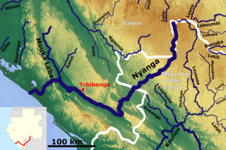
| 06:10, 11 Bowte 2018 |  | 780 × 491 (754 KB) | Peter in s | {{Information |description ={{en|1=The Nyanga catchment OSM}} |date =2018-12-11 |source =https://maps-for-free.com/ |author =Hans Braxmeier }} {{cc-by-sa-2.0}} Category:Rivers of Gabon Category:Rivers of the Republic of the Congo |
Kuutorgol fiilde
Ngoo hello ena huutoroo ndee fiilde:
Kuutoragol fiilde kuuɓtidinngol
Wikiiji ɗii-ɗoo goɗɗi ena kuutoroo ndee fiilde:
- Kuutoragol e de.wikipedia.org
- Kuutoragol e en.wikipedia.org
- Kuutoragol e es.wikipedia.org
- Kuutoragol e fr.wikipedia.org
- Kuutoragol e ha.wikipedia.org
- Kuutoragol e lt.wikipedia.org
- Kuutoragol e www.wikidata.org